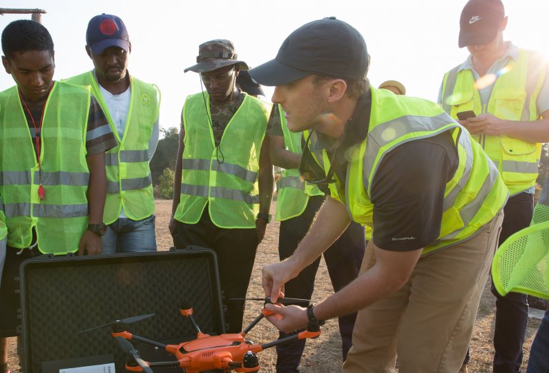
Use cases
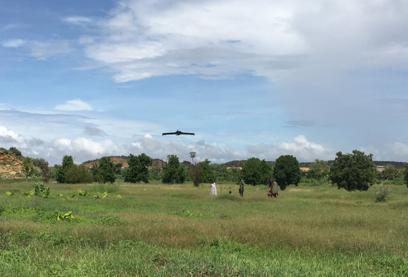
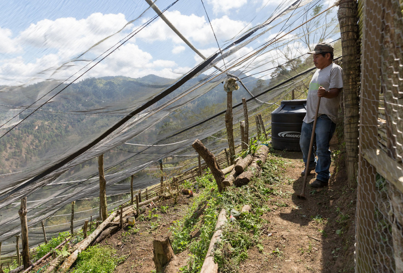
Cargo Delivery
WFP Aviation is committed to optimizing and enhancing its cargo delivery capabilities through technology to reach the last-mile. Since 2019, WFP has been exploring the use of Remotely Piloted Aircraft Systems (RPAS) for supply delivery operations in areas with significant access constraints. The use of RPAS could help reduce the risks associated with staff security in conflict environments and remote locations. WFP has also been proactively collaborating with civil aviation authorities including ICAO and IATA as well as other UN agencies and Interagency Supply Chain Group’s UAS coordinating body to develop RPAS operational frameworks for humanitarian uses.
Communication
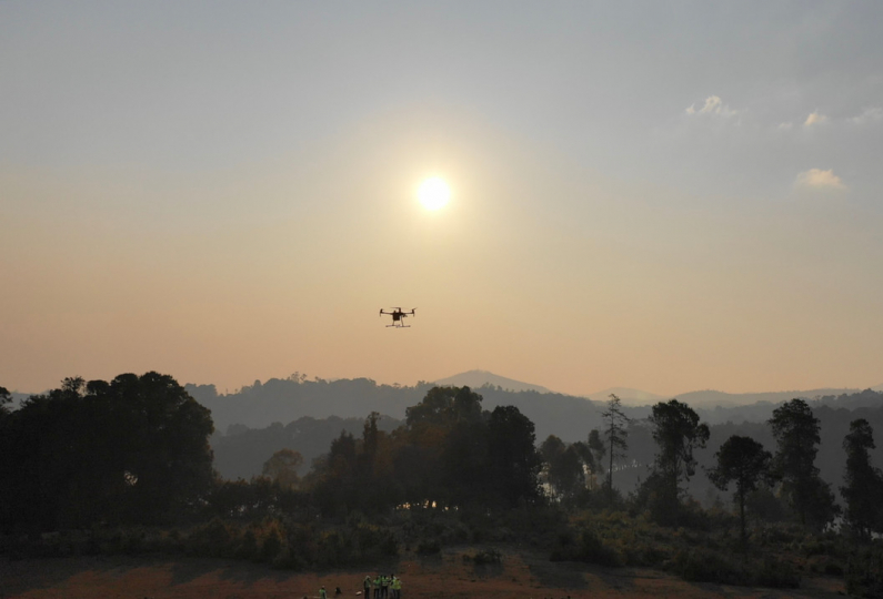
A image taken from the skies can often help convey the larger picture and contextualize the scale of humanitarian activities on the ground. Increasingly, drones are becoming a powerful storytelling tool, opening up new horizons while minimizing exposure risks for humanitarians in the field.
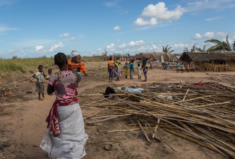
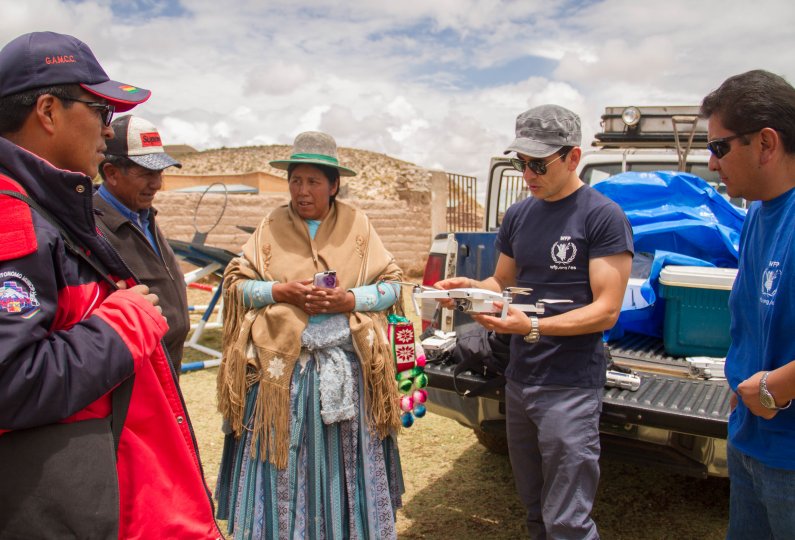
Community Participation
Emergency preparedness and response maps can allow communities to take an active part in assessing hazards, determine coping strategies and make better-informed decisions. In the wake of a disaster, real-time information can enable community members to identify damages to their homes, crops and surrounding areas. Maps produced by drone imagery can also be printed and used during community dialogues between local populations and humanitarians, strengthening response collaboration.
Connectivity
WFP is exploring the use of drones to provide connectivity in remote areas where coverage is limited or non existent as well as during emergencies. As a cost-effective and rapidly deployable solution that can cover large areas, drones can be equipped with mobile and Internet connectivity equipment to fill gaps in network coverage.
Crop Monitoring
Crop health and soil conditions can be monitored by using a combination of drone images and software analysis. Drones equipped with multispectral cameras can be used for agricultural purposes by capturing Normalized Difference Vegetation Index (NDVI) data. NDVI uses algorithms to decode the amount of light absorbed and reflected by a crop to help determine its health. WFP is currently exploring these applications to bolster local livelihoods and food security.
Damage Assessment
In the aftermath of a disaster, access to information is critical to allocate resources and reach people in need of assistance. Having a bird's-eye view can help humanitarians get a better grasp of the whole picture. Drones can provide rapid post-disaster assessments and map out large areas accurately, saving both time and improving emergency response efficiency.
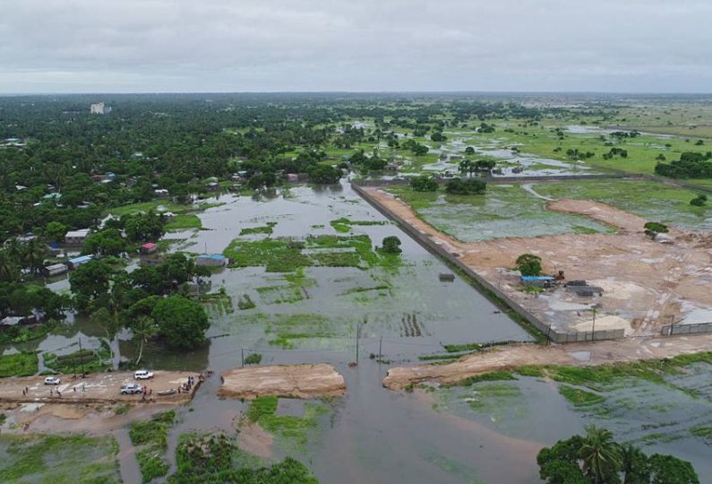
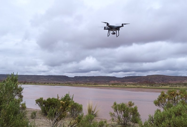
Flood Modelling
Drones open up new possibilities in disaster management activities with hazard mapping and modelling. WFP is using drones to collect data, map and model flood planes as well as create disaster preparedness profiles in high-risk areas. Drone data can be analyzed to support national and local level decision-making and bolster emergency preparedness planning before disaster strikes.
Search and Rescue
When lives are at stake, every second counts. Following a disaster, search and rescue missions require speed and agility. Location access is often a challenge as infrastructure is damaged. Drones offer a rapidly deployable tool that can cover large areas. Mounted with infrared cameras, they can detect things the human eye cannot, saving time and improving search and rescue mission outcomes.
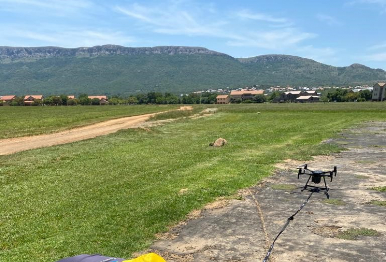
Site Surveys and Line of Sight
Installing reliable radio links and communication network are essential to provide connectivity during emergency responses. Choosing the right site or simply acquiring line of sight rapidly and accurately for network set ups can be challenging in humanitarian contexts. Drones offer up-to-the centimetre precision while minimizing humanitarian exposure to risk.